
 中文(繁體)
 中文(简体)
 English



A-Level Geography: Complete Guide to the Syllabus, Assessment and Career Pathways
@keyframes tzPulseO { 0%,100% { box-shadow: 0 0 0 0 rgba(255,140,0,.55); transform: scale(1); } 50% { box-shadow: 0 0 0 14px rgba(255,140,0,0); transform: scale(1.04); } }
@keyframes tzPulseN { 0%,100% { box-shadow: 0 0 0 0 rgba(2,30,64,.5); transform: scale(1); } 50% { box-shadow: 0 0 0 12px rgba(2,30,64,0); transform: scale(1.04); } }
.tz-blink-o { animation: tzPulseO 1.6s ease-in-out infinite; }
.tz-blink-n { animation: tzPulseN 1.6s ease-in-out infinite .35s; }
TUTORZONE SUBJECT GUIDE · A-LEVELS
A-Level Geography explores the phenomena of the Earth’s surface and the interplay between human activity and the natural environment — from climate systems and landforms to urbanisation, GIS and fieldwork. Here is a complete guide to the syllabus, the assessment and the career pathways the subject can open up.
Direct Answer:What is A-Level Geography?
A-Level Geography studies Earth’s surface phenomena and human-environment interplay, covering climate systems, landforms, urbanisation, GIS and fie。
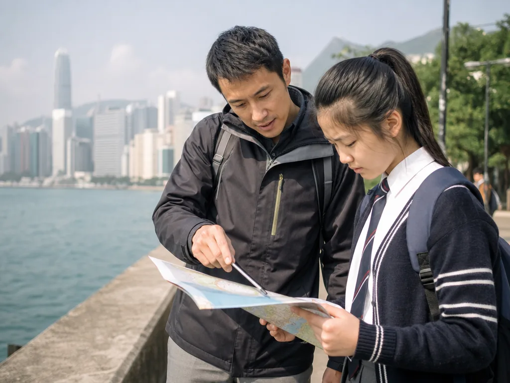
What Is A-Level Geography?
A-Level Geography is a subject that studies the phenomena of the Earth’s surface and the interaction between human activity and the natural environment, aiming to help students build geographical knowledge and skills and to analyse the challenges of the modern world. The course not only focuses on the fundamental theories of geography but also places emphasis on students’ ability to understand, analyse and interpret geographical issues. A-Level Geography offers deep insight into geographical questions at the global, regional and local levels, and enables students to analyse and interpret a wide range of geographical phenomena in diverse ways.
The Structure of the A-Level Geography Course
The content of A-Level Geography can be broadly divided into the following themes, covering various aspects of both physical and human geography:
Physical GeographyTheme 1
This part focuses on the formation, change and interaction of the natural environment. Students will study the following topics:
- Climate change and weather: studying the basic concepts of climate, including the global climate system, atmospheric movement, climatic zoning and weather change, and exploring the influence of human activity on climate change.
- Landforms and geological processes: understanding how the Earth’s surface features are formed, studying the evolution of landforms (such as mountains, rivers and coasts), as well as volcanic and seismic activity.
- The hydrological cycle and water resources: exploring how the hydrological cycle affects the distribution and use of water resources such as rivers, lakes and groundwater.
- Ecosystems and biogeography: studying the structure and function of different ecosystems, such as forests, deserts and grasslands, and discussing how human activity affects biodiversity.
Human GeographyTheme 2
This part focuses on how human activity shapes geographical space, including cities, economies and cultures. It mainly includes:
- Population and migration: learning about the causes of population distribution, growth and structural change, and exploring the drivers of migration and its social, economic and environmental impacts.
- Urbanisation and urban development: analysing the process of urbanisation and its impact on geographical space, and understanding issues such as urban expansion, urban planning, housing and public services.
- Globalisation and economic development: studying how globalisation affects economic development around the world, and analysing international trade, capital flows, and the differences between developing and developed countries.
- Resource management and sustainable development: exploring how to use natural resources effectively and proposing sustainable development solutions to problems such as resource shortages, pollution and environmental protection.
Geographical Skills and TechniquesTheme 3
This part emphasises how students use various geographical research methods to collect, analyse and present data. Students will learn:
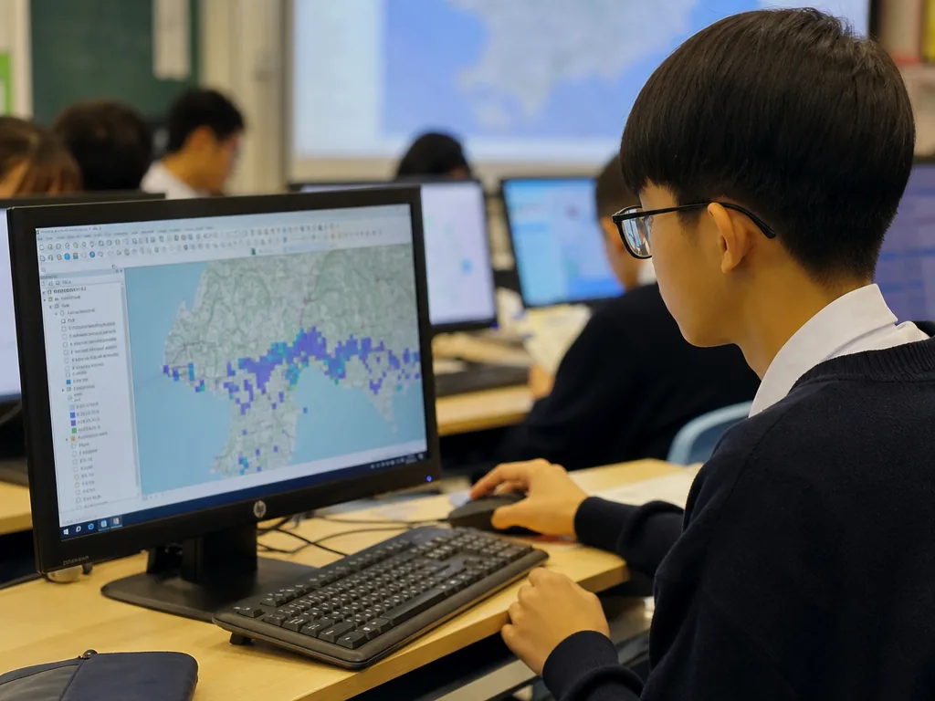
- Geographic Information Systems (GIS): learning how to use GIS to collect and analyse spatial data in order to understand geographical problems.
- Data analysis and interpretation: learning how to collect data (for example through questionnaires and fieldwork), process and analyse it, and interpret and report the results.
- Quantitative and qualitative research methods: including quantitative methods such as statistical data and map analysis, and qualitative methods such as interviews and case studies.
Geographical Issues and ChallengesTheme 4
An important part of the A-Level Geography course is understanding the major geographical issues and challenges currently facing the world. Students will explore:
- The environment and climate change: including the impact of climate change on ecosystems, society, the economy and the global climate, and analysis of mitigation and adaptation strategies.
- The impact of natural hazards: for example the impact of earthquakes, floods and hurricanes on human society, and discussion of disaster management and response.
- Global food security and water scarcity: analysis of the global food crisis, water resource management and the unequal distribution of resources.
- Ecological and biodiversity conservation: how to protect the natural environment and species, and discussion of the impact of biodiversity loss and protective measures.
Fieldwork and Independent ResearchTheme 5
A-Level Geography emphasises fieldwork and research, helping students apply theoretical knowledge to the real world. Students will take part in:
- Fieldwork: students carry out field investigations into specific geographical phenomena, such as hydrological studies and urbanisation processes, and collect primary data.
- Independent research projects: choosing a geographical question based on personal interest, conducting in-depth independent research, analysing the problem and proposing viable solutions.
The Learning Aims of A-Level Geography
The aims of A-Level Geography include:
A Deep Understanding of Physical & Human Geography
Students will gain a comprehensive understanding of the interrelationships between the natural environment, human society and space.
Developing Critical Thinking & Analytical Skills
Students will learn to analyse global, regional and local geographical issues critically and to put forward reasoned views.
Applying Geographical Skills & Methods
Students will become proficient in a range of geographical skills, including data analysis, map-making and spatial analysis.
Proposing Sustainable Solutions
Students will learn how to put forward viable solutions to global geographical challenges, particularly in environmental protection, resource management and economic development.
The Assessment of A-Level Geography
A-Level Geography is assessed mainly through written examinations and a fieldwork report:
Written Examinations
Students answer theoretical questions relating to physical geography, human geography and current geographical issues, and carry out data analysis and case studies.
Fieldwork Project
Students submit an independent research report, which usually accounts for a certain proportion of the overall grade. Students analyse data from their fieldwork and present their findings.
Career Prospects and Further Study
A-Level Geography not only provides a deep understanding of the discipline but also opens up a wide range of options for future academic study or careers. Students of geography can go on to study geography, environmental science, urban planning, international relations, economics and other disciplines, and enter fields such as:
- Environment and sustainable development——such as environmental consultant or sustainable development specialist.
- Urban planning and construction——such as urban planner or construction manager.
- Humanitarian aid and international development——such as international development specialist or NGO worker.
- Government and public policy——such as policy analyst or public affairs specialist.
- Education and research——such as geography teacher or academic researcher.
Summary
A-Level Geography is a subject that combines the natural and social sciences, helping students understand the interaction between the geographical environment and human activity. The course not only emphasises theoretical learning but also encourages fieldwork and independent research, equipping students with a broad range of analytical skills. Studying A-Level Geography not only helps students understand global challenges but also lays a solid foundation for future study and career development.
A-Level Geography combines the natural and social sciences, helping students understand the interaction between the geographical environment and human activity.
Frequently Asked Questions (FAQ)
Q: Do I need to be strong in maths to do well in A-Level Geography?
You do not need advanced maths, but being comfortable with basic data analysis, graphs, maps and simple statistics helps a great deal — especially for the skills and fieldwork components of the course.
Q: Is fieldwork compulsory in A-Level Geography?
Yes. Fieldwork and an independent research report usually form a marked part of the course, so students should be ready to collect and analyse primary data outside the classroom.
Q: Which subjects pair well with A-Level Geography?
Geography pairs well with subjects such as Environmental Science, Economics, Biology, Sociology and Mathematics, and it supports a wide range of university and career paths.
Q: What careers can A-Level Geography lead to?
It opens doors to environmental consulting, urban planning, international development, public policy, education and research — among many others.
Further Resources & Next Steps
- Official Resources——the exam board specification and past papers for A-Level Geography (for example Cambridge International, Pearson Edexcel, AQA or OCR).
- Further Reading——introductory geography textbooks and case-study books on climate change, urbanisation and Geographic Information Systems (GIS).
- Parent Tips——encourage regular map-reading and news-following habits at home; discussing local weather, transport and environmental issues builds everyday geographical awareness.
Note: The information above is for reference only. Please consult professional education institutions for details.
This article was initially drafted and organised with AI. Editor / Professor Chan Kwok-wai; Managing Editor / Kong Yee-leung
Act Now: Find a Tutor / Register as a Tutor
For parents & students: looking for a home or online tutor for this subject? Click the button below to post a free tuition case (subject, level and preferred time) — TutorZone will match you with suitable tutors:
For tutors: do you teach this subject? Click the button below to register for free and receive more suitable cases — you pay only when a match is made:
Drill it: TutorZone original drilling mocks for Cambridge A-Level Geography 9696 (2027-2029): Cambridge A-Level Geography 9696 Paper 1 drilling mock · Cambridge A-Level Geography 9696 Paper 2 drilling mock · Cambridge A-Level Geography 9696 Paper 3 drilling mock · Cambridge A-Level Geography 9696 Paper 4 drilling mock · each with invented data sets, worked answers and drilling technique.